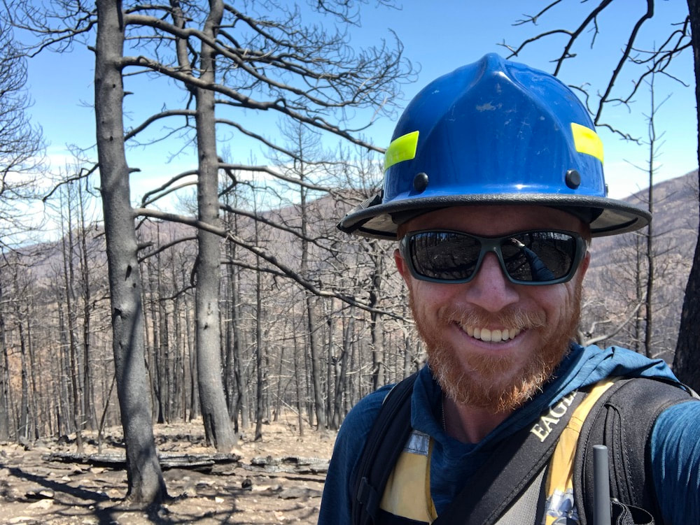
Hi! I'm the Lead Scientist for Ecological Modeling and Climate Change for Vibrant Planet. I earned my PhD at the University of California, Davis in the Graduate Group in Ecology where I was advised by Dr. Andrew Latimer and Dr. Malcolm North. My MSc advisor at Colorado State University was Dr. Ruth Hufbauer. I was a postdoctoral researcher with Dr. Jennifer Balch.
I am a plant ecologist and geospatial data scientist that studies how demography and disturbance operate across scales to shape ecosystem resilience in the context of land management and a changing climate. I use field-based studies, cutting edge remote sensing, data harmonization, geostatistical analyses, and a firm grounding in ecological theory to advance innovative macroecology research in the mountainous western U.S.
I am a plant ecologist and geospatial data scientist that studies how demography and disturbance operate across scales to shape ecosystem resilience in the context of land management and a changing climate. I use field-based studies, cutting edge remote sensing, data harmonization, geostatistical analyses, and a firm grounding in ecological theory to advance innovative macroecology research in the mountainous western U.S.
My research fits into three broad categories (with some example projects listed below each):
Disturbance dynamics at missing scales of observation
Democratizing access to macroecology
Basic ecosystem ecology we can use
As a confluence of these three themes, I am co-PI on Open Forest Observatory (OFO), in collaboration with lead PI Derek Young (UC Davis) and co-PI Tyson Swetnam (University of Arizona, CyVerse).
The OFO is an NSF-funded effort to build cyberinfrastructure for using drone imagery and artificial intelligence to generate large (~25 hectares) forest inventories across the western U.S. We will initiate the OFO with newly-generated, drone/AI-derived forest inventories over previously-collected field reference data through partnerships with the US Forest Service, The Nature Conservancy, and the National Ecological Observatory Network. The strong outreach and education component of the OFO will advance open environmental data science with accessible training in drone/AI workflows for researchers, and experiential learning opportunities showcasing the use of technology in fire ecology for high schoolers in the Front Range impacted by the 2020 Cal-Wood Fire.
Disturbance dynamics at missing scales of observation
- Investigating how fine-scale fuel, weather, topography, and human factors influence extreme wildfire events in California
- Identifying the cross-scale drivers of forest insect outbreaks after California's 2012-2016 hot drought
- Linking changing nighttime atmospheric conditions to fire activity across hourly and decadal time scales at a global extent
Democratizing access to macroecology
- Integrating drone-derived forest data with the National Ecological Observatory Network
- Leading inquiry-based, experiential learning opportunities for high schoolers at the Cal-Wood Education Center to understand the short- and long-term consequences of the 2020 Cal-Wood Fire
- Building an inclusive community of drone-using ecologists in a Research Coordination Network
- Teaching scientific computing skills to researchers
Basic ecosystem ecology we can use
- Demonstrating how local variability in vegetation structure increases resilience to wildfire in seasonally dry forests
- Drone mapping the entire burned area of the Cal-Wood Education Center at an individual tree scale to guide post-fire management
- Fine-scale tree mortality risk mapping to benefit proactive management within Yosemite National Park
- GLORIA alpine plant monitoring to track climate change effects on mountaintop plants within the Great Basin region
As a confluence of these three themes, I am co-PI on Open Forest Observatory (OFO), in collaboration with lead PI Derek Young (UC Davis) and co-PI Tyson Swetnam (University of Arizona, CyVerse).
The OFO is an NSF-funded effort to build cyberinfrastructure for using drone imagery and artificial intelligence to generate large (~25 hectares) forest inventories across the western U.S. We will initiate the OFO with newly-generated, drone/AI-derived forest inventories over previously-collected field reference data through partnerships with the US Forest Service, The Nature Conservancy, and the National Ecological Observatory Network. The strong outreach and education component of the OFO will advance open environmental data science with accessible training in drone/AI workflows for researchers, and experiential learning opportunities showcasing the use of technology in fire ecology for high schoolers in the Front Range impacted by the 2020 Cal-Wood Fire.
Contact:
Michael (Mike) Koontz
mikoontz at gmail dot com
ORCID: orcid.org/0000-0002-8276-210X
GitHub: mikoontz
Twitter: @_mikoontz
Michael (Mike) Koontz
mikoontz at gmail dot com
ORCID: orcid.org/0000-0002-8276-210X
GitHub: mikoontz
Twitter: @_mikoontz
Last updated: 2024-02-15

